


Location:
36° 30' to 36° 45'N, 106° 18' to 106° 38' W, Rio Arriba CountyType:
Four scoria cones and associated basaltic lava flows.Age:
Late PleistoceneSignificance:
Unusual location on summit of Tusas Mountains; flows from the twin Brazos cones flowed several thousand feet down in elevation along the Brazos Box to the lower elevations at Tierra Amarilla.Composition:
Basalt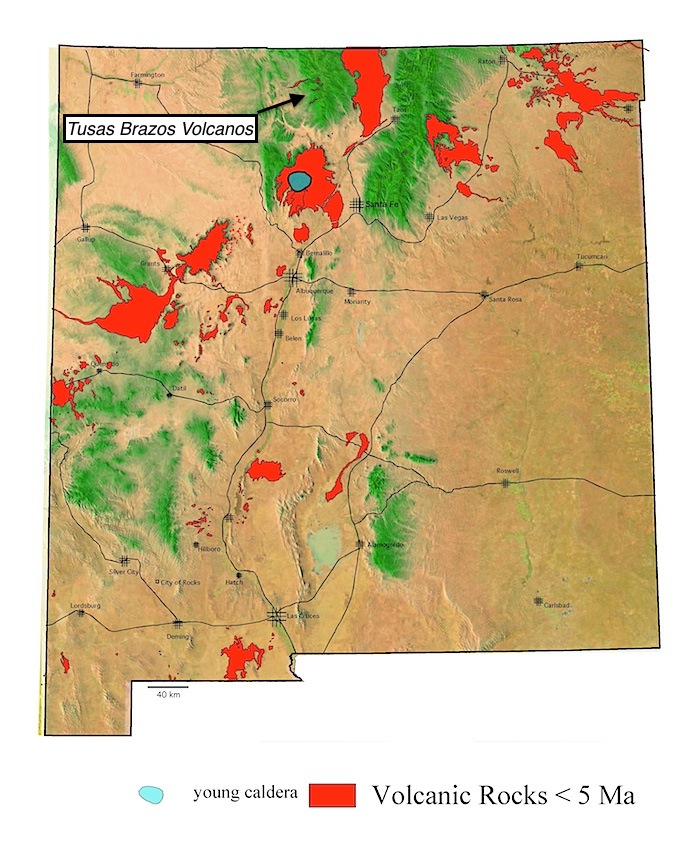
Summary
Geological
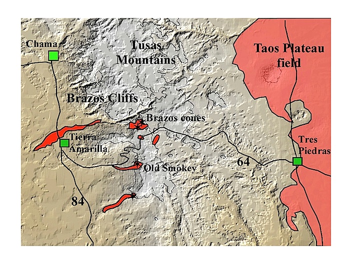
Location of the principal vents and lava flows of the Brazos field in relation to the Taos Plateau field. The field is located between Chama and Tres Piedras. Lava flows from the Brazos cones are exposed south of Chama in a road cut. Digital terrain model base.
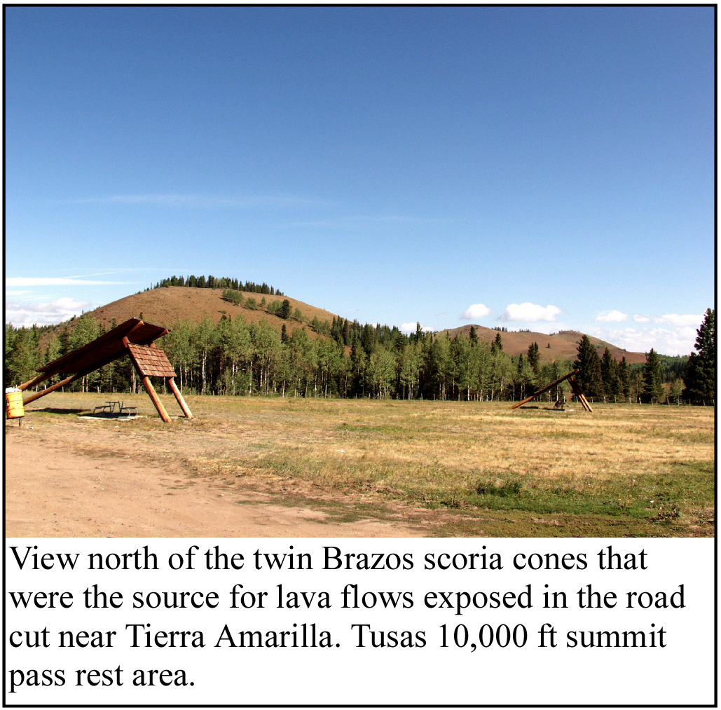
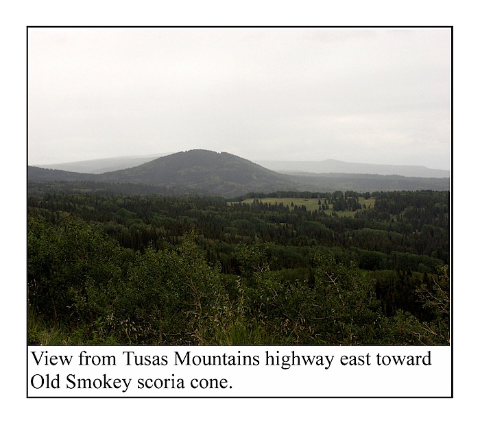
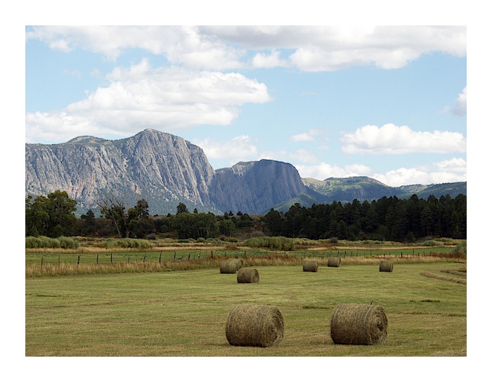
Brazos Cliff with Brazos Cones on far right as viewed from the highway south of Chama, New Mexico. Photo L. Crumpler
View the Tusas Brazos Volcanoes in a larger map